Frankie Hansen · 3 October 2026
Harbor Cedars as Environmental Recorders: Growth Ring Patterns Revealing Historical Water Quality Shifts in Shipping Zones
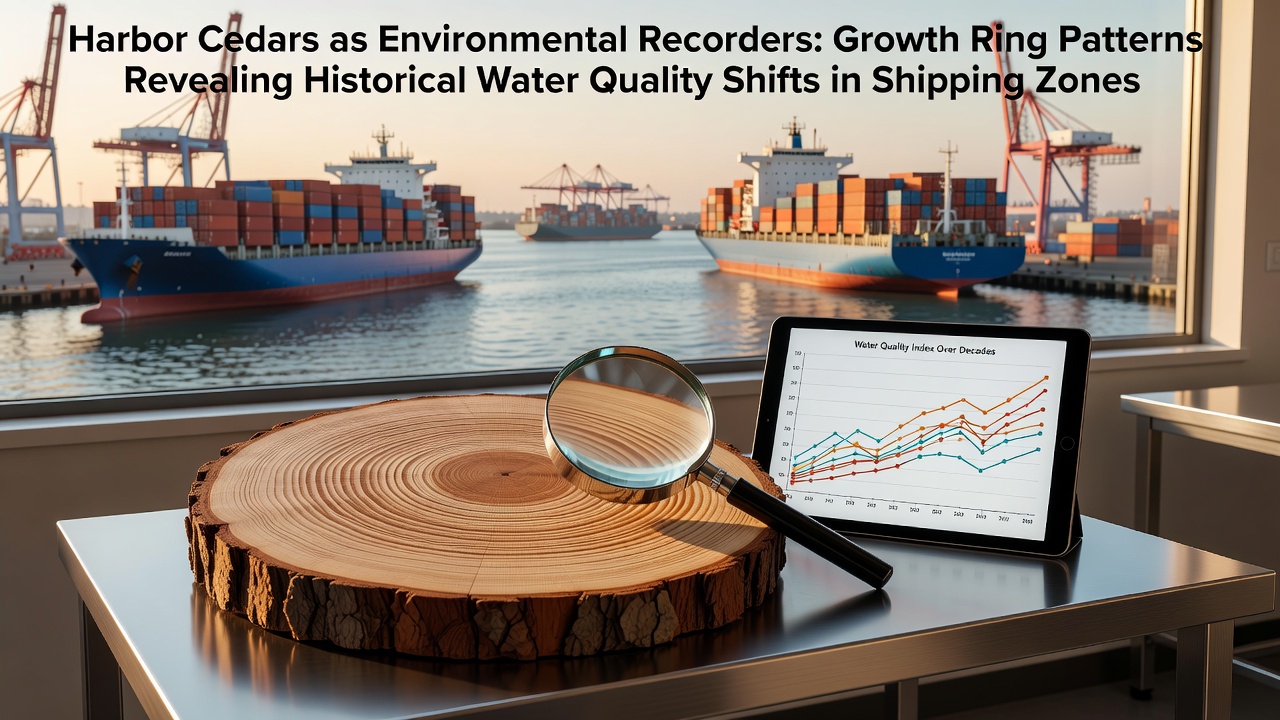
Harbor cedars growing near active shipping zones accumulate detailed records of water quality changes within their annual growth rings, and researchers analyze these patterns to reconstruct decades of environmental shifts. The trees absorb minerals and pollutants through their root systems, which connect directly to sediment layers influenced by vessel traffic, dredging operations, and industrial discharges. Each ring forms over a single growing season and incorporates chemical signatures from surrounding water and soil conditions at that time.
Mechanisms of Environmental Recording in Cedar Rings
Tree ring formation responds to multiple stressors that affect water quality, including heavy metal concentrations, nutrient loading from ballast water releases, and hydrocarbon residues from fuel spills. Scientists measure ring width alongside isotopic ratios and trace element concentrations to map these influences year by year. Wider rings often correspond to periods of improved water clarity and lower contaminant levels, whereas narrower rings align with episodes of elevated turbidity or chemical exposure. The process allows reconstruction of water quality trends without relying solely on sporadic historical sampling data from port authorities.
Studies conducted along major shipping corridors demonstrate that cedar species tolerate saline intrusion better than many deciduous trees, which enables continuous records spanning multiple decades. Researchers extract core samples from trees positioned at varying distances from docks and channels, then compare ring chemistry across these gradients to isolate shipping-related impacts from broader regional changes.
Historical Patterns Linked to Shipping Activity
Data collected from harbor cedar stands in North American ports reveal distinct shifts corresponding to regulatory changes in vessel emissions and waste management practices. Rings formed during the 1970s through 1990s frequently contain elevated lead and zinc levels that decline sharply after the introduction of stricter fuel standards. Similar patterns appear in European ports where ring analyses track reductions in polycyclic aromatic hydrocarbons following the phase-out of certain bunker fuels.
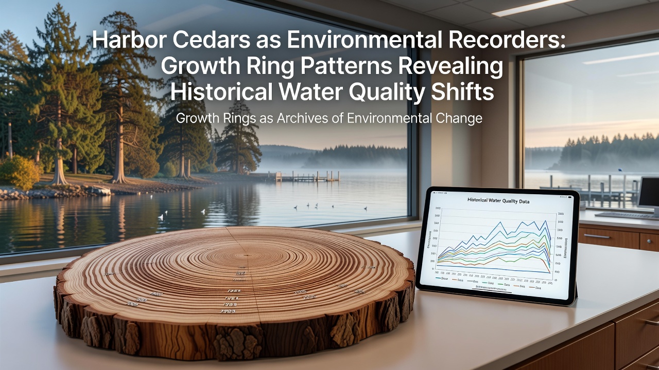
October 2026 marks the release of a multi-site comparison study coordinated across ports in Canada and Australia that extends these records into the present decade. The project integrates ring data with sediment core analyses and port authority logs to quantify how increased container traffic volumes since 2015 correlate with renewed upticks in certain trace metals. Findings indicate localized improvements near terminals that adopted shore-power systems, while zones with continued reliance on onboard generators show persistent ring anomalies.
Integration with Broader Monitoring Networks
Port environmental teams now incorporate cedar ring data into routine water quality assessments because the biological archive provides temporal resolution that exceeds many instrumental records. Government agencies such as those operating under the U.S. Environmental Protection Agency framework reference these datasets when evaluating long-term compliance with sediment quality guidelines. Parallel efforts in other regions draw on similar methods to establish baseline conditions before new terminal expansions.
One research group working in a major Pacific Northwest harbor compared ring chemistry from cedars planted in the 1960s against continuous monitoring station data collected since the 1990s. The comparison confirmed that ring-derived estimates of copper loading matched independent measurements within acceptable margins, validating the approach for periods predating modern instrumentation. Observers note that such cross-validation strengthens confidence in extending reconstructions further back in time where direct records remain sparse.
Challenges in Interpreting Ring Signatures
Multiple environmental variables can influence ring formation simultaneously, which requires careful statistical controls to isolate shipping-related signals. Drought stress, temperature extremes, and competition from adjacent vegetation all affect growth rates and must be accounted for through regional climate models. Analysts also adjust for species-specific uptake rates, because different cedar varieties sequester certain metals at varying efficiencies.
Sampling protocols emphasize trees located on stable substrates away from recent fill material or dredging spoil to minimize confounding factors. Teams collect multiple cores per tree and average results across several individuals at each site to reduce individual variability. These standardized procedures allow comparison of records from disparate ports while maintaining data integrity.
Future Applications and Ongoing Research
Continued expansion of cedar-based monitoring networks supports predictive modeling of how projected increases in global shipping traffic may affect nearshore ecosystems. Models calibrated with historical ring data project potential contaminant trajectories under different regulatory scenarios, offering port planners quantitative tools for site selection and mitigation design. Academic institutions in several countries now include dendrochronological modules in environmental science curricula to train the next generation of analysts.
Conclusion
Harbor cedars function as living archives that capture cumulative effects of shipping operations on water quality through measurable changes preserved in their growth rings. Researchers combine ring width measurements, chemical analyses, and cross-site comparisons to reconstruct historical conditions and evaluate the effectiveness of regulatory interventions over time. The approach complements traditional monitoring by extending records backward and providing continuous annual resolution across decades. As port expansion continues, these biological indicators offer an additional line of evidence for assessing long-term environmental trends in active shipping zones.